 Redland Bushwalkers
A group of friendly, like minded people who enjoy a variety of activities in the great outdoors.
Redland Bushwalkers
Mt Gravatt Outlook via Toohey Forest – Loop
8.9km Length, 263m Elevation gain, 2h 28m Estimated walking time
The route links together several walking tracks Toohey Ridge Track, Acacia Track, Summit Track, Intercampus Track, Mimosa Track and Sandstone Circuit. It passes through the Uni campus and uses an underpass under the freeway to connect the two areas of parklands; the scenery changes quite a lot between each side of the motorway.
The route crosses gently undulating terrain apart from the steep climb to the summit. Mount Gravatt Outlook has views of Brisbane City and surrounding suburbs. On a clear day, you can see the Moreton Bay islands, D’Aguilar Ranges and Glasshouse Mountains.
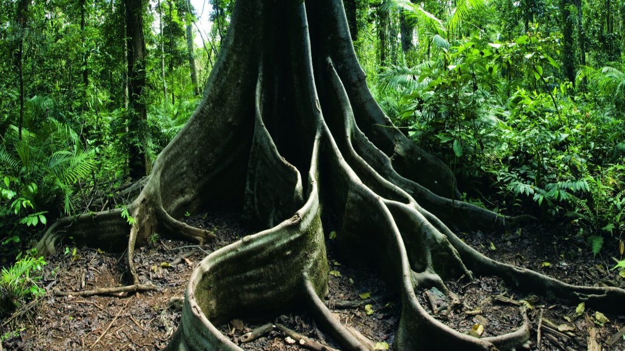
The area is home to over 400 species of native wildlife and plant species. It winds through eucalypt forests, rainforest species along creeks and gullies. You may spot wattle, she-oaks, heath species, creepers, and grass trees along the way. Squirrel gliders, short-beaked echidnas, lace monitors, kookaburras, rainbow lorikeets, lizards, goannas, skinks and geckoes.
We can stop for a coffee break at the Lovewell Cafe at the top, before heading back. Bring water, snack, (or purchase from the coffee shop) hat, sunscreen and all the usual day gear.
I’ve not led this walk before and it’s a long time since I’ve walked it, but hopefully Alltrails will keep me on the correct path. Parking could be an issue on a Saturday, so we can carpool at my place if convenient for you, otherwise we’ll meet at the Toohey Picnic area. I’ll put my address in the comments section. Sign up through meetup or email the club to let me know you’ll be attending.
Leader Colleen